Frearson's
Pocket
Plan
Of The
City Of
Adelaide
c1880
The Map
| Full Title: |
Frearson's Pocket Plan of the City of Adelaide |
|
| Publisher: |
Frearson & Bro., Lithographers, Printers, & Publishers,
58 King William St., Adelaide. |
| Date: |
c1880 |
| Size: |
49.3cm x 64.8cm (19.4" x 25.5") |
| Scale: |
10¼" : Approx 1 British Statute Mile |
| Extent: |
North Park Lands - East Park Lands -
South Park Lands - West Park Lands |
| Description: |
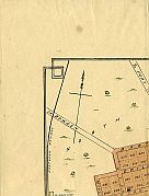
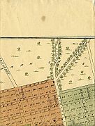
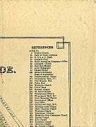
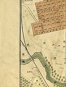
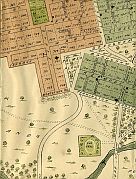
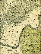
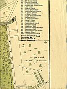
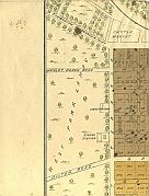
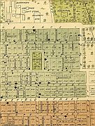
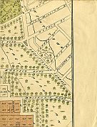
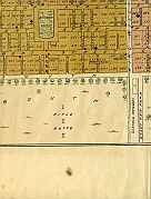
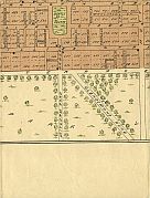
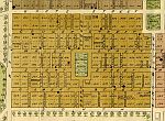
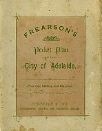
Folding paper map of Adelaide, with soft card cover. Title set in top blank section of plan. No date. References to significant buildings at top right.
Colour.
Vegetation indicated. |
There are few known surviving copies of Frearson's 19th century maps of Adelaide. The earliest copy of an Adelaide plan printed by Frearson & Bro. appears to have been included as a supplement to the satirical publication The Portonian on 13 March 1875. It is described as "compiled and
published by the proprietors, Frearson and Brother, Adelaide, 1874". It is probable that following the success of this initial Adelaide plan the Frearsons began producing a folding pocket plan for the benefit of travellers and visiting businessmen. In 1876 Frearson & Bro., News Agents, were situated in premises at 58 King William Street. Contemporary directories also record these premises
as the offices of The Portonian and the Illustrated Adelaide News.
The rear soft card cover of the plan includes a full list of plans printed by
Frearson & Bro. :
| |
| South Australia |
1/- |
| City Of Adelaide |
1/- |
| City And Suburbs |
1/- |
| Norwood, Kensington, etc. |
1/6 |
| Port Adelaide |
1/- |
| LeFevre's Peninsula |
1/- |
| Moonta And Kadina |
1/- |
|
Mounted And Varnished 2/6 Extra
|
|
In later years Frearson's Printing House occupied premises
on North Terrace, and also premises at Hindmarsh.
Brief History Of This Plan
This plan was found in a second hand store in Bairnsdale, Victoria, in August of 2005, and made its way to MAPCO in January of 2006. Unfortunately, where it had spent the other 125 years of its life remains a mystery.
Technical Note
Due to the difficulty in scanning this plan without damaging it, the images of
the 16 individual sections of the plan vary in colour saturation. The folds of
this plan are very fragile, and if not handled with care they will easily split
or tear. Because of this difficulty, the Frearson scans are not as pleasing as
they could be. If I find a way of improving the scan quality without compromising
the plan I will certainly attempt to scan it again.
Image Sizes and Download Times
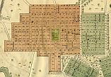
The images displayed here are scans of each folding section of the plan.
The average image size of the Frearson plan sections is approximately 200KB. At
56KB dial-up connection speed each page will take about 30 seconds to fully load,
although some pages (such as Hindmarsh Ward & North Terrace) can take approximately
50 seconds to load.
Please be patient, as it is worth the wait.
|


