MAPCO Store
|
London Maps
|
British Isles Maps
|
Australian Maps
|
Other Maps
|
News
|
Terms Of Use
|
Links
|
Contact
|
Home
|
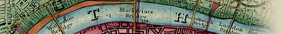
Wyld's New Topographical Map Of The Country In The Vicinity Of London c1872
Stepney & London Docks
to
Peckham Rye Common
Click Image Below For Enlarged View
This Image © Copyright MAPCO 2009
This site has been accessed
times.